Offa's Dyke
The plan is to walk the 177 mile long Offa's Dyke which, is a linear earthwork which roughly follows the Welsh/English boundary between Prestatyn and Chepstow. We anticipate this taking us around 10 days to complete.
Once again the plan will be to sleep in the open and carry everything we need with us. There will be no hotels, no comfy beds. Just two friends, and 177 miles of countryside.

In order to complete the trail within 10 days we will need to cover an average of 17 miles per day, a tough ask but manageable as long as we don't get distracted by too many of the local sights or pubs.

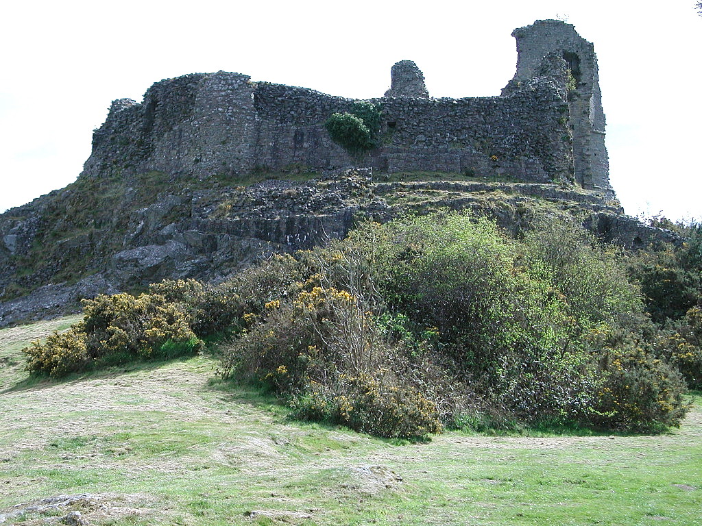


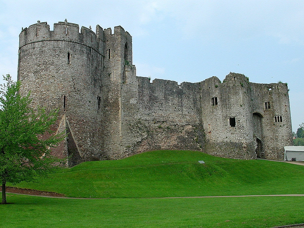

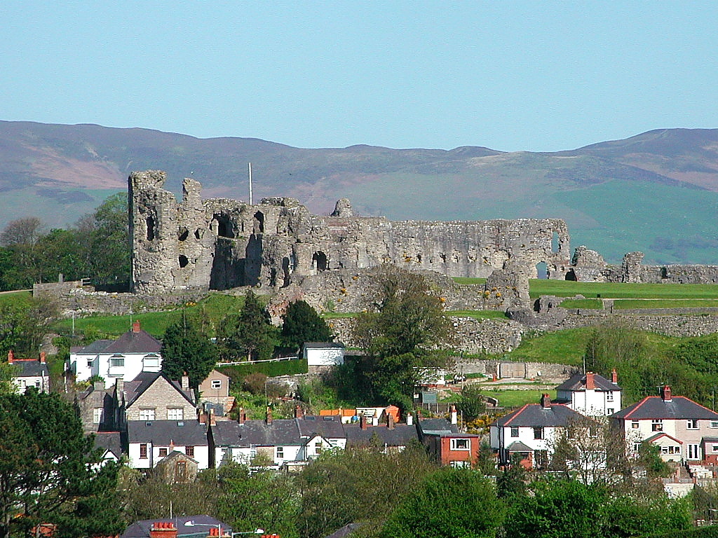
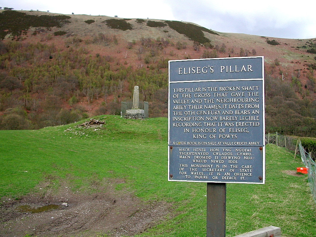
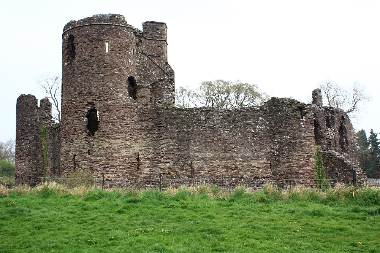

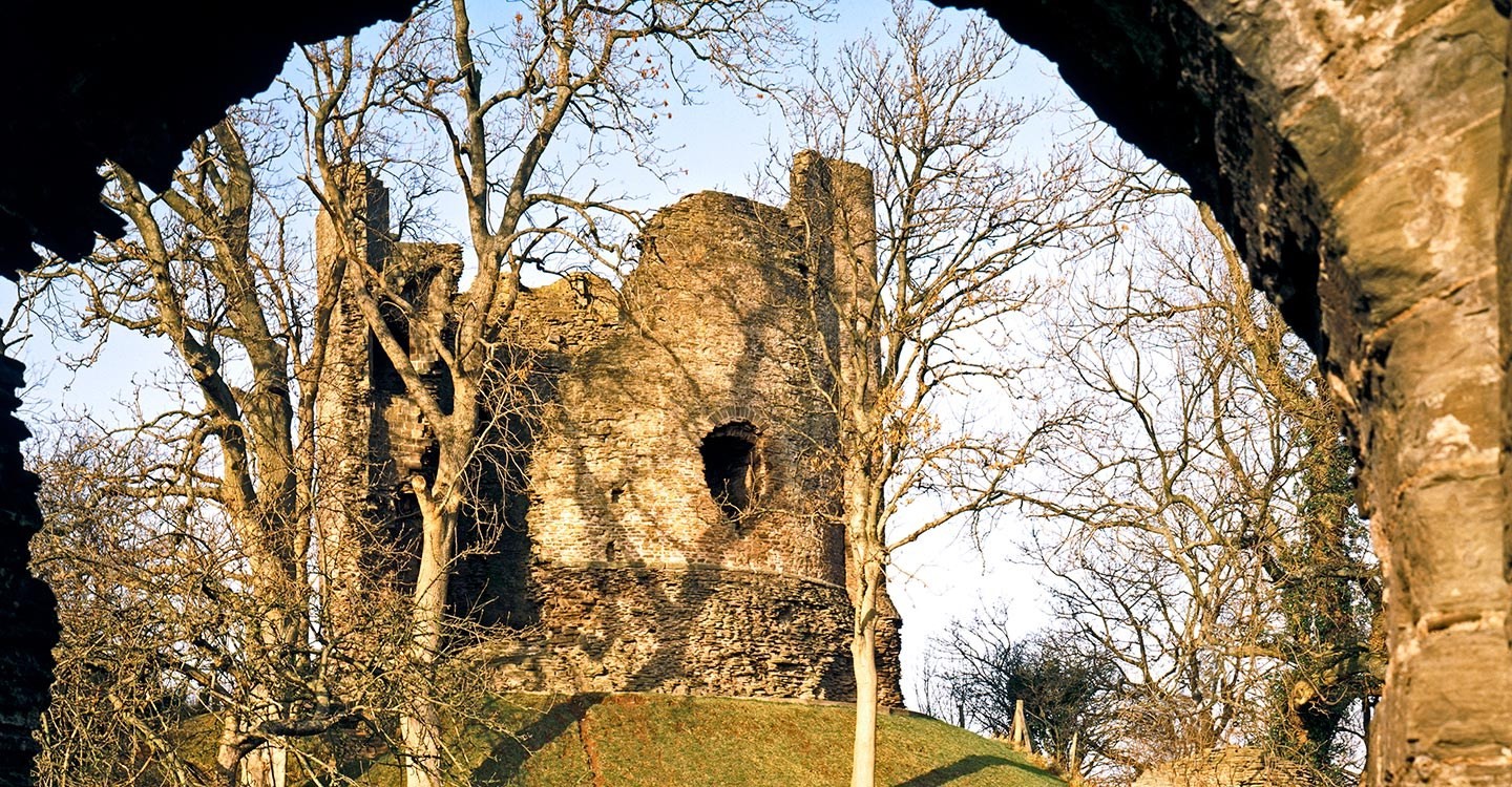
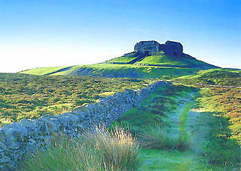
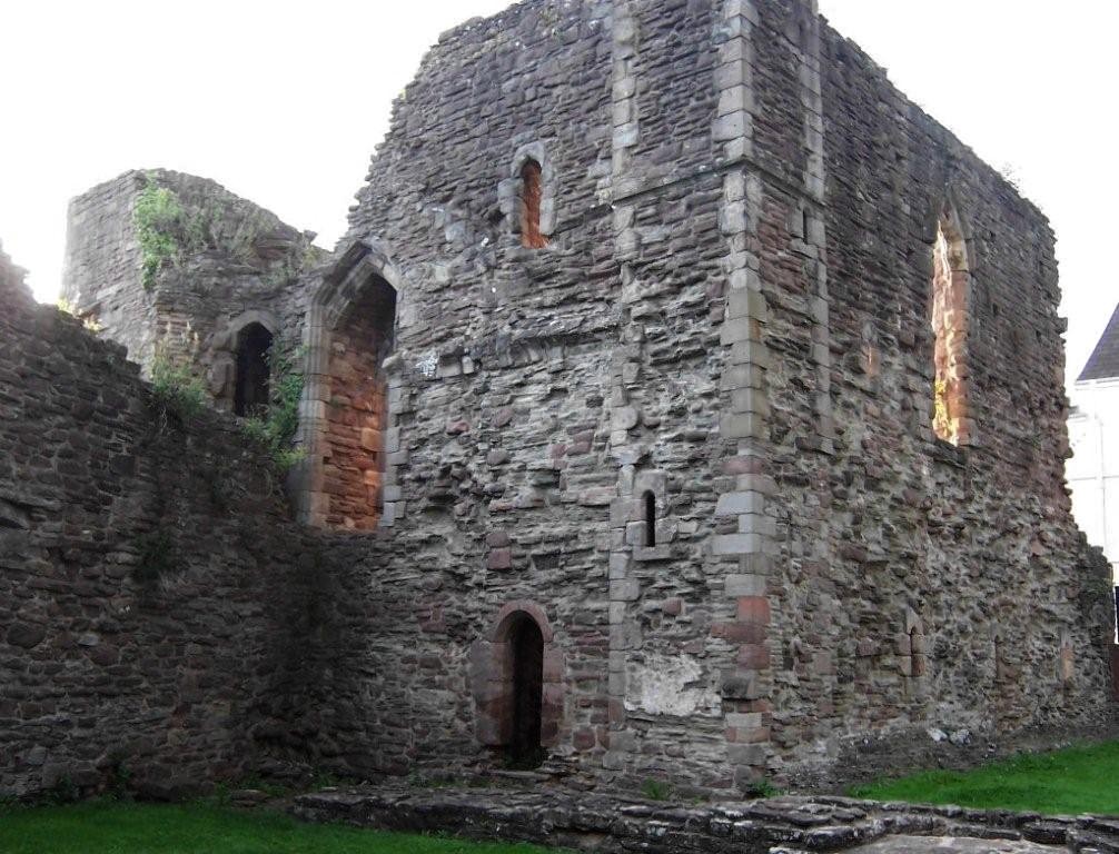


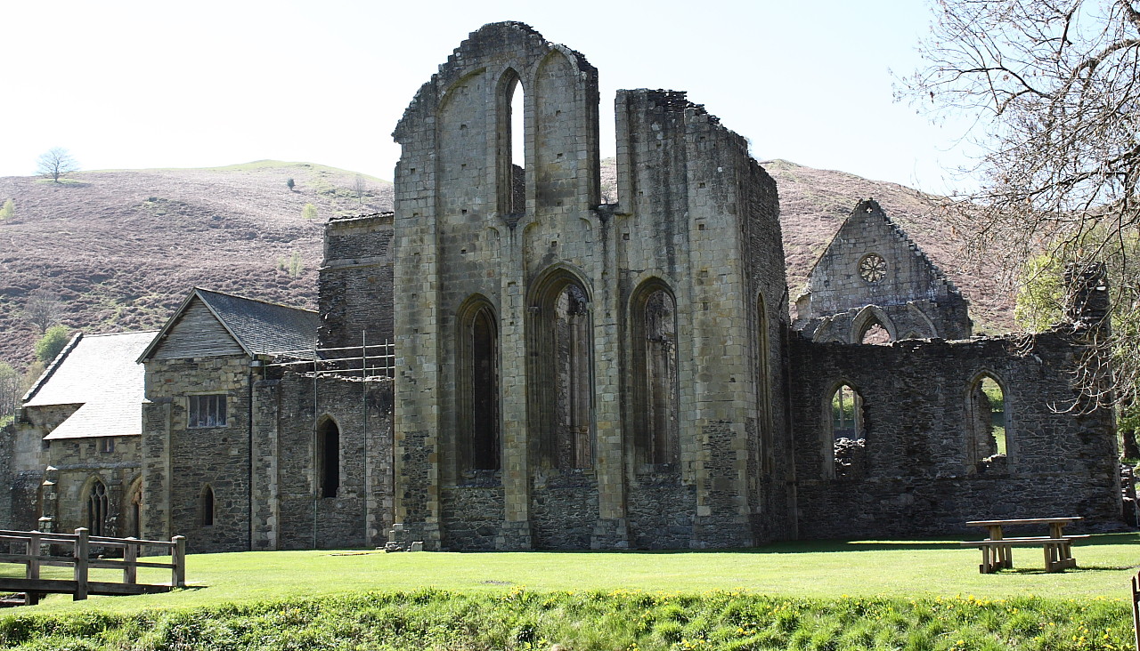


Some of the sights close to Offa's Dyke.
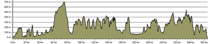
As would be expected of the Welsh countryside, Offa's Dyke has plenty of ups and downs. The image below is an altitude map showing the variation of height above sea level along the trail.